Get help with Geography of Canada 421A
Most tutoring makes you sit through material you already know. MapleMind flips that: pick the exact skill that's causing trouble — any of the 22 below — and the tutor teaches just that one, step by step, as many times as it takes. Ask questions in plain words, any time of day, in English, French, or 12 other languages.
The official Prince Edward Island Geography of Canada 421A curriculum
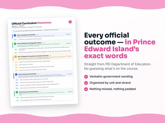
Prince Edward Island defines Geography of Canada 421A by strands and outcomes. MapleMind teaches the same curriculum reorganized for one-skill-at-a-time tutoring — the table shows exactly where every official strand lands, and the ministry's own wording is quoted under each unit below.
Official source Prince Edward Island's official curriculumRead it on the government site — princeedwardisland.ca ↗| Official strand | Outcomes | Where MapleMind teaches it |
|---|---|---|
| Strand CC | 1 | Unit 1: Canadian Connections |
| MGI | 2 | Unit 2: Methods of Geographic Inquiry |
| Strand PC | 4 | Unit 3: Physical Connections: Canada's Ecozones |
| Strand CU | 4 | Unit 4: Cultural Connections |
| Strand EC | 2 | Unit 5: Economic Connections |
| Strand GC | 2 | Unit 6: Canada's Global Connections |
| Strand FC | 1 | Unit 7: Future Connections |
Every skill below, taught one on one.
 Try the first session free
How MapleMind teaches Geography of Canada 421A — every unit, lesson, and skill
Every skill below runs as a short session: a plain-words lesson, a worked example, solving it together, then a five-question skill check that earns up to three stars. Guided Mode keeps it teaching instead of answer-handing — turning it off needs a parent's password.
Unit 1Unit 1: Canadian ConnectionsOfficial strand · Strand CC
Building a personal understanding of Canadian geography as a starting point for inquiry.
Understanding Canadian Geography
- Articulating your understanding of Canadian geography1.1 — Articulate your own understanding of Canadian geography - its regions, features, and diversity - as a starting point for further inquiry.
The official wording — 1 outcome in this unit
- 1.1
articulate their own understanding of Canadian geography
Unit 2Unit 2: Methods of Geographic InquiryOfficial strand · MGI
The methods and tools of geographic inquiry: locating and gathering information, and analysing and interpreting geographic data with geotechnologies.
Methods and Tools of Geographic Inquiry
- Locating and gathering geographic information2.1 — Use methods and tools of geographic inquiry to locate, gather, evaluate, and organize information about Canada's natural and human systems.
Analysing Geographic Data
- Analysing and interpreting geographic data2.2 — Analyse and interpret data gathered in inquiries about the geography of Canada, using a variety of methods and geotechnologies.
The official wording — 2 outcomes in this unit
- 2.1
use methods and tools of geographic inquiry to locate, gather, evaluate, and organize information about Canada’s natural and human systems
- 2.2
analyse and interpret data gathered in inquiries about the geography of Canada, using a variety of methods and geotechnologies
Unit 3Unit 3: Physical Connections: Canada's EcozonesOfficial strand · Strand PC
The physical geography of Canada: the forces that shape the landscape, the components of ecozones, regional diversity, and the value of ecozones for understanding interconnectedness.
Forces That Shape Canada's Landscape
- Internal forces shaping the landscape3.1 — Explain the internal physical forces - tectonic and volcanic - that impact Canada's landscape.
- External forces shaping the landscape3.1 — Explain the external physical forces - weathering, erosion, and glaciation - that impact Canada's landscape.
The Components of Ecozones
- The components of an ecozone3.2 — Identify the components of ecozones - landforms, climate, soils, vegetation, wildlife, and human activity - that make each a distinct system.
Comparing Ecozones
- Assessing diversity by comparing ecozones3.3 — Assess regional diversity by comparing at least two different ecozones within Canada across their components.
Ecozones and Interconnectedness
- Ecozones as a tool for interconnectedness3.4 — Evaluate the usefulness of ecozones as a framework for understanding the interconnectedness of natural and human systems.
The official wording — 4 outcomes in this unit
- 3.1
explain internal and external physical forces that impact Canada’s landscape
- 3.2
identify components of ecozones
- 3.3
assess regional diversity by comparing at least two different ecozones within Canada
- 3.4
evaluate the use of ecozones in understanding interconnectedness
Unit 4Unit 4: Cultural ConnectionsOfficial strand · Strand CU
Canada's people and how they change: population change, demographic change over time and place (Aboriginal demographics, migration, settlement, and land use), sustainable land use, and urban development.
Measuring Population Change
- Calculating population change4.1 — Explain how population change is calculated - through birth, death, immigration, and emigration rates - and why it is important.
How Natural and Human Systems Change
- Factors in current Aboriginal demographics4.2 — Describe the factors that have contributed to current Aboriginal demographics - displacement during colonization and western development, and the effects of treaties, government policies, and calls for self-government.
- Patterns and trends in Canadian migration4.2 — Identify and explain patterns and trends in Canadian migration - immigration history, the factors behind migration, and settlement patterns.
- Patterns and trends in rural/urban settlement4.2 — Identify and explain patterns and trends in rural/urban settlement - from Canada's agrarian beginnings to the rural-to-urban shift of the Industrial Age.
- Land-use changes from demographic change4.2 — Describe the changes in land use - within Canada's ecozones and through urbanization - that have resulted in demographic changes over time.
Sustainable Land Use
- Assessing land-use sustainability4.3 — Assess the sustainability of current land use practices using either a local or national case study.
Models of Urban Development
- Recommending an urban development model4.4 — Assess models of urban development and recommend a specific model, with reasons.
The official wording — 4 outcomes in this unit
- 4.1
explain how population change is calculated and why this is important
- 4.2
analyze how natural and human systems change over time and from place to place
- 4.3
assess the sustainability of current land use practices using either a local or national case study
- 4.4
assess models of urban development to recommend a specific model
Unit 5Unit 5: Economic ConnectionsOfficial strand · Strand EC
Canada's economy: its economic sectors and their importance, and a geographic inquiry into one or more sectors.
Canada's Economic Sectors
- Canada's economic sectors5.1 — Identify Canada's economic sectors - primary, secondary, tertiary, and quaternary - and place Canadian industries within them.
- The importance of each sector5.1 — Explain the importance of each of Canada's economic sectors and how the sectors depend on one another.
A Geographic Inquiry into a Sector
- A geographic inquiry into an economic sector5.2 — Develop a geographic inquiry into one or more of Canada's economic sectors, from question to conclusion.
The official wording — 2 outcomes in this unit
- 5.1
identify and explain Canada’s economic sectors and the importance of each sector
- 5.2
develop a geographic inquiry into one or more of Canada’s economic sectors
Unit 6Unit 6: Canada's Global ConnectionsOfficial strand · Strand GC
Canada in the world: the economic, societal, and environmental connections between Canada and other countries, and Canada's involvement in a global issue.
Canada's Connections to the World
- Economic and societal connections6.1 — Analyse the economic and societal connections - trade, investment, migration, and cultural ties - between Canada and other countries.
- Environmental connections6.1 — Analyse the environmental connections - shared climate, waters, and ecosystems - between Canada and other countries.
Canada and a Global Issue
- Assessing Canada's involvement in a global issue6.2 — Assess Canada's current involvement in a global issue, weighing its effectiveness and impact.
The official wording — 2 outcomes in this unit
- 6.1
analyse the economic, societal, and environmental connections between Canada and other countries
- 6.2
assess Canada’s current involvement in a global issue
Unit 7Unit 7: Future ConnectionsOfficial strand · Strand FC
From inquiry to action: an active citizenship project based on a Canadian geographic inquiry.
An Active Citizenship Project
- An active citizenship project from geographic inquiry7.1 — Engage in an active citizenship project that is based upon a Canadian geographic inquiry, turning findings into action.
The official wording — 1 outcome in this unit
- 7.1
engage in an active citizenship project that is based upon a Canadian geographic inquiry
Printable workbook · A keepsake of the year
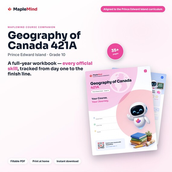
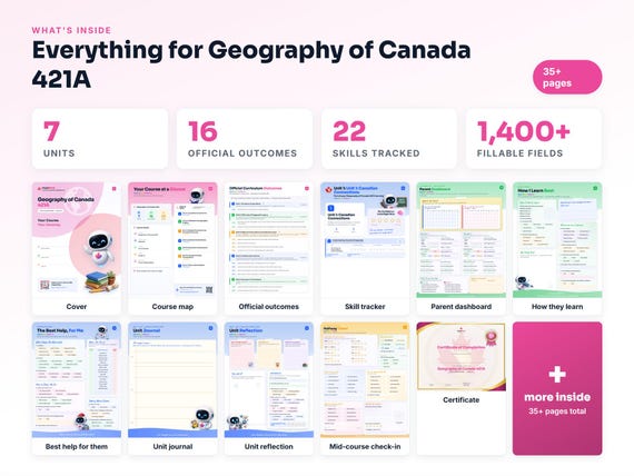
A Geography of Canada 421A workbook worth keeping
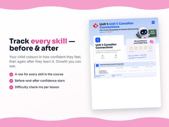
Built from the same official curriculum as this page. Before and after each skill above, your student colours in how sure they feel — so the two of you can see, on one page, what's clicking and what needs another look. It's a quiet way to follow how the year is really going.
By June it's full of their own handwriting: units worked through, confidence grown, a mid-year check-in, notes from parent-teacher night, and a certificate at the end. Less a worksheet, more a record of the year worth keeping on the shelf.
Instant download · see every page, reviews and the full description · five or more workbooks are $2.99 each
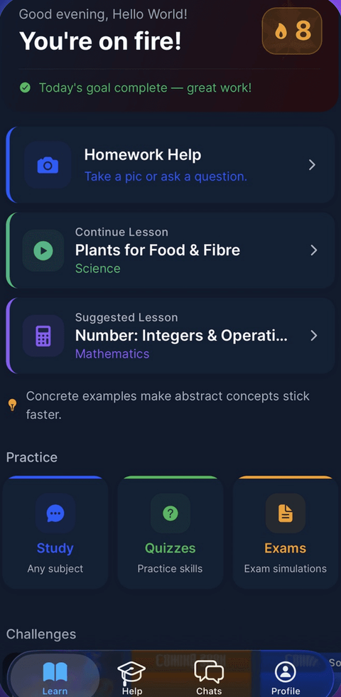
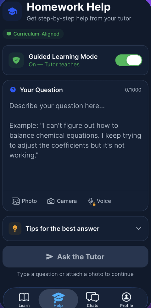
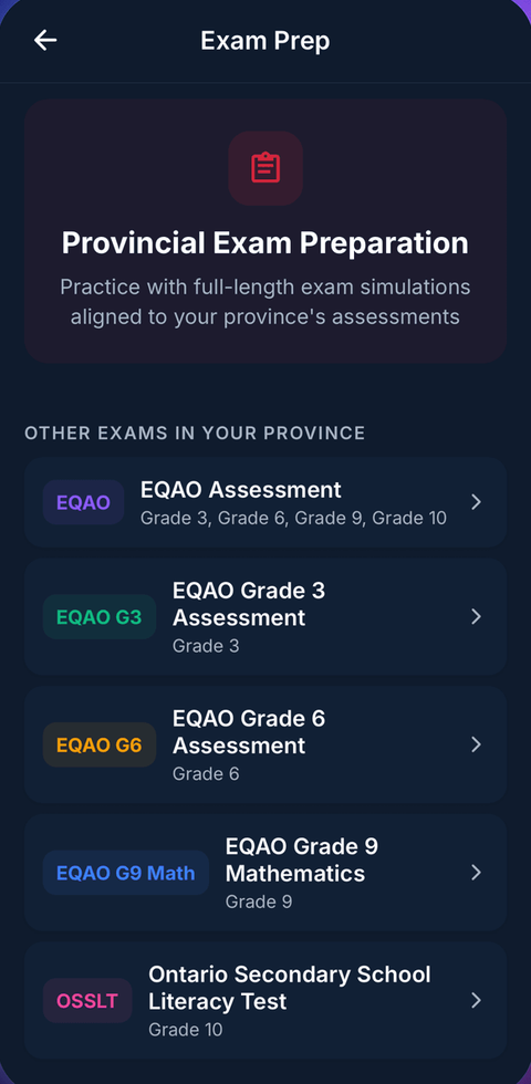
What it looks like in the app
Common questions
Can MapleMind help me with Geography of Canada 421A?
Yes. MapleMind's AI tutor covers all 22 skills in Prince Edward Island's Geography of Canada 421A — you pick the exact skill, and the tutor teaches it step by step: a short lesson, a worked example, solving together, then a skill check to show it stuck.
Is MapleMind aligned to Prince Edward Island's official curriculum?
Yes. Every skill in this course maps to an official outcome code from Prince Edward Island's Grade 10 Social Studies curriculum, and the ministry's own wording is quoted under each unit on this page — with the official government source linked so you can check it yourself.
What does MapleMind cost?
It's free to start — 5 tutoring chats and a practice quiz every day, no credit card. A Pro subscription ($9.99/month or $49.99/year CAD, 7-day free trial) unlocks unlimited tutoring, practice, and exam simulations.
What if I'm stuck on just one topic?
That's the point of skill-level tutoring: open Geography of Canada 421A in the app, tap the exact skill from the list on this page, and the tutor teaches just that — no wading through lessons you don't need.
Does MapleMind work in French or other languages?
Yes — 14 languages, including French. Both the app and the tutor's explanations switch to the language you choose.
Where can I see the official Prince Edward Island curriculum for Geography of Canada 421A?
The official source is linked on this page — Prince Edward Island's official curriculum. The outline here follows it: every MapleMind skill carries its official outcome code, and the ministry's own wording is quoted under each unit.
Keep exploring
Ready when you are
Pick a skill from this page and see it taught properly — free, in the browser, in under a minute.